Rimrock Lake/Tieton State Airport
Rimrock Lake/Tieton State Airport
I made a short trip to the Tieton State Airport on the southeast side of Mt Rainier. This is a
beautiful area and I'm sorry I didn't find it sooner.
Click on any picture thumbnail to see a larger image.
The large versions of the images are mostly 880x584. This is a 50% size reduction from the
original digital photos. If you really like a particular picture, send me email with the file name
and I will post the "super huge" 1760x1168 version of it.
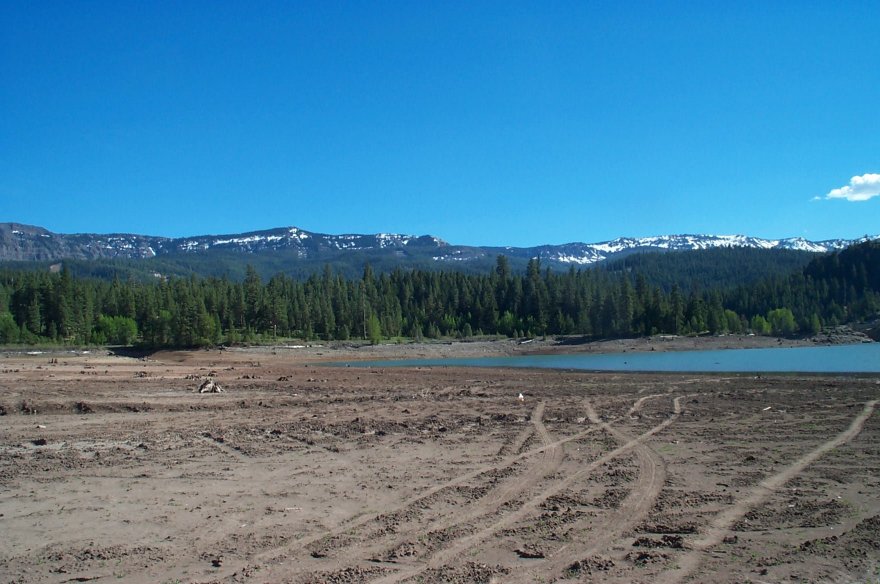
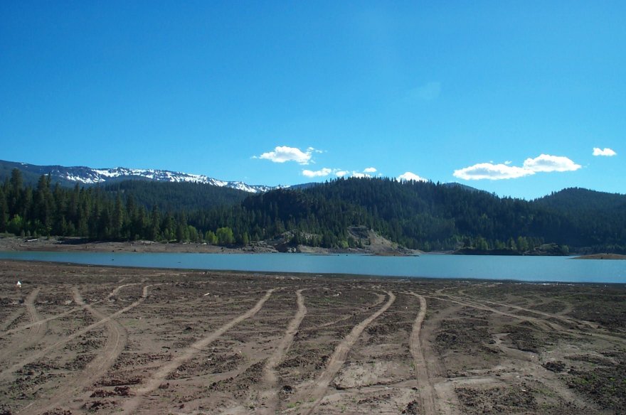
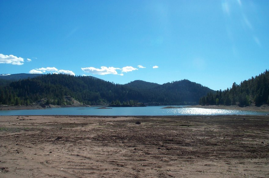
Arial Photos
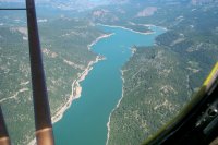
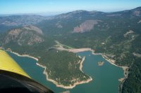
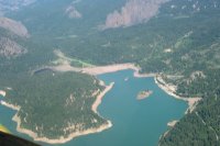
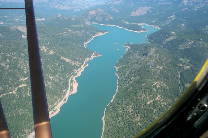
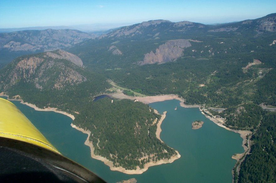
I took these photos from about 6000-7000' on my initial descent. You can see the landing strip
clearly in the large versions of the 2nd and 3rd pictures. It's also
visible in the 1st photo, on the top right branch of the lake.
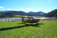
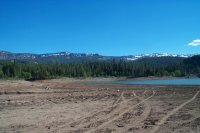
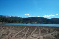
Ground Photos
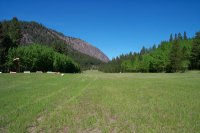
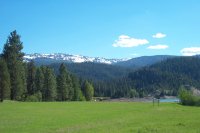
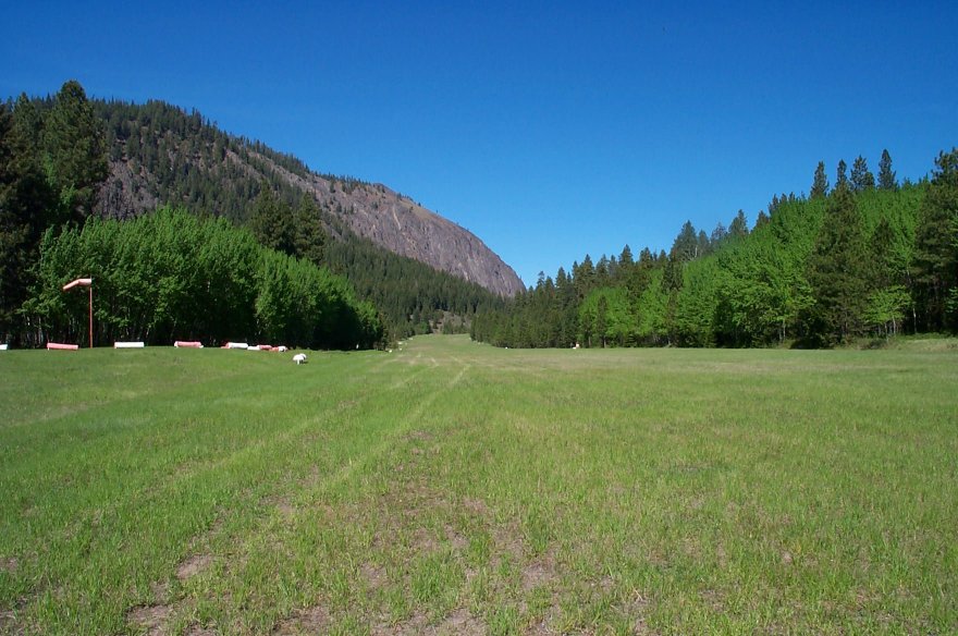
Here's a couple of shots of the runway. It slopes up quite a bit as you move
away from the lake. When the water level is higher, I would bet the end of the runway slopes
down into the water. (There's slight grass ramp at the very end of the runway which might
be for bringing floatplanes out. Today there was a couple hundred feet from the end of the grass
to the water's edge.
The runway's 2500' long and slopes into the lake. As long as you can break ground
in that distance, there should be plenty of room to circle and climb out over the lake,
as the 1st arial photo shows.
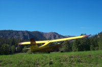
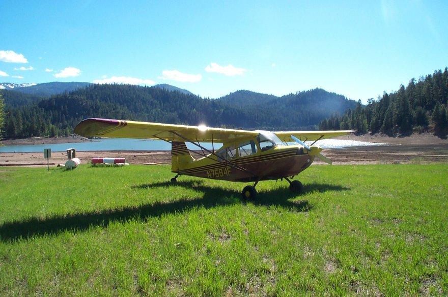
This is my Citabria parked on the lake end of the runway, tailed off to the side.
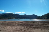

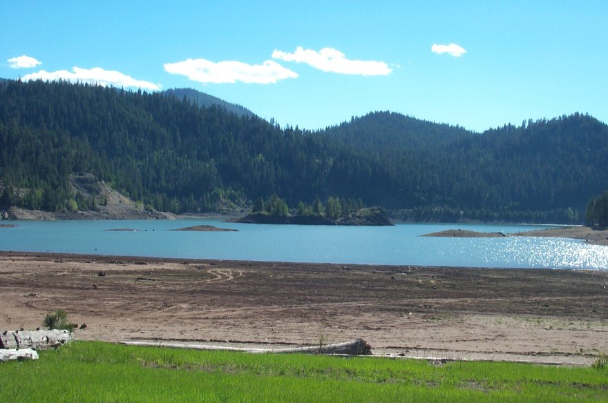
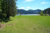
Walking from the runway to the water, this is the view. The water level appears to
be extremely low this year. My guess is it would be an easy swim to the small island
in the 4th shot.